Planned·Andes · Sacred Valley · Peru
Inca Trail to Machu Picchu
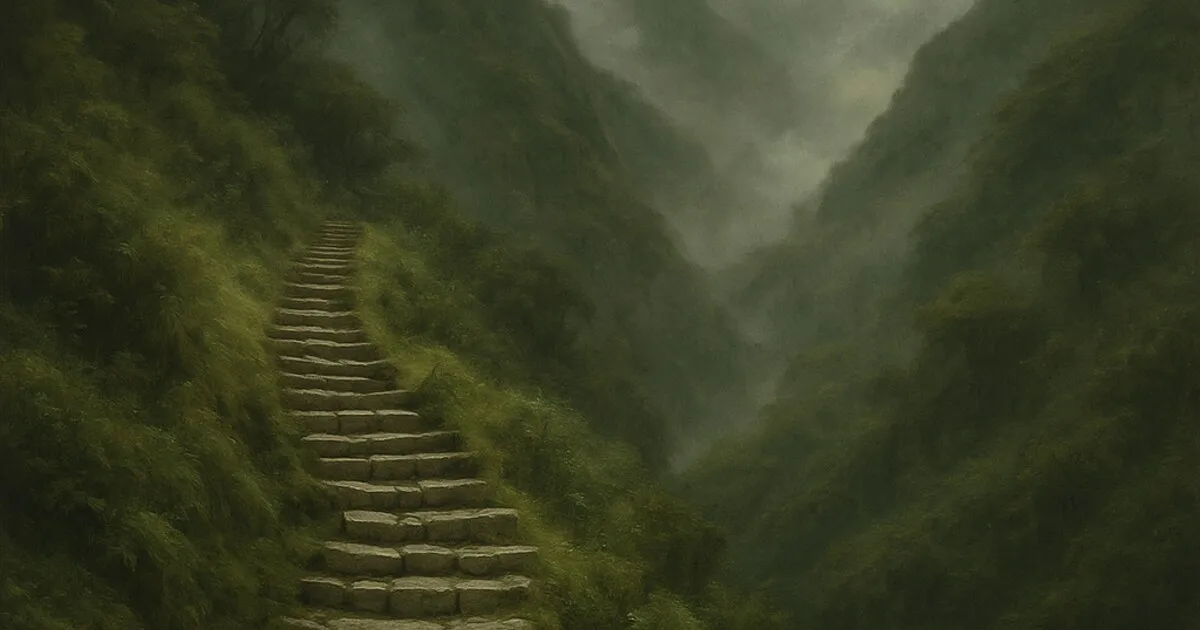
The original royal road to Machu Picchu: Inca stone stairways over high passes and through cloud forest, arriving at the Sun Gate above the lost city at dawn.
- Dead Woman’s Pass (4,215 m)
- Sun Gate at sunrise
- Cloud-forest ruins
- Machu Picchu
▸ Planned route
- KM82 · Piscacucho, 2,600 metres, Day 1. Trailhead.
- Llactapata, 2,650 metres, Day 1
- Dead Woman’s Pass, 4,215 metres, Day 2. The high point.
- Pacaymayo, 3,600 metres, Day 2
- Phuyupatamarca, 3,680 metres, Day 3
- Wiñay Wayna, 2,680 metres, Day 3
- Machu Picchu, 2,430 metres, Day 4. Through the Sun Gate.
KM82 · Piscacucho
Llactapata
Dead Woman’s Pass
Pacaymayo
Phuyupatamarca
Wiñay Wayna
Machu Picchu
- 43 km
- distance
- 4 days
- on trail
- +2,200 m
- ascent
- 4,215 m
- high point
elev 2,430–4,215 m · 7 waypoints